Benefits
The RCIS Program offers a powerful approach to protecting California’s biodiversity, while streamlining infrastructure project delivery.

Program Benefits for California
The RCIS Program offers significant advantages for both conservation efforts and development projects. Whether you’re a developer seeking to minimize ecological impacts or a group working to protect critical habitats, an RCIS provides a forward-thinking framework that aligns infrastructure growth with responsible stewardship of natural resources.


Wide-ranging benefits and opportunities
-
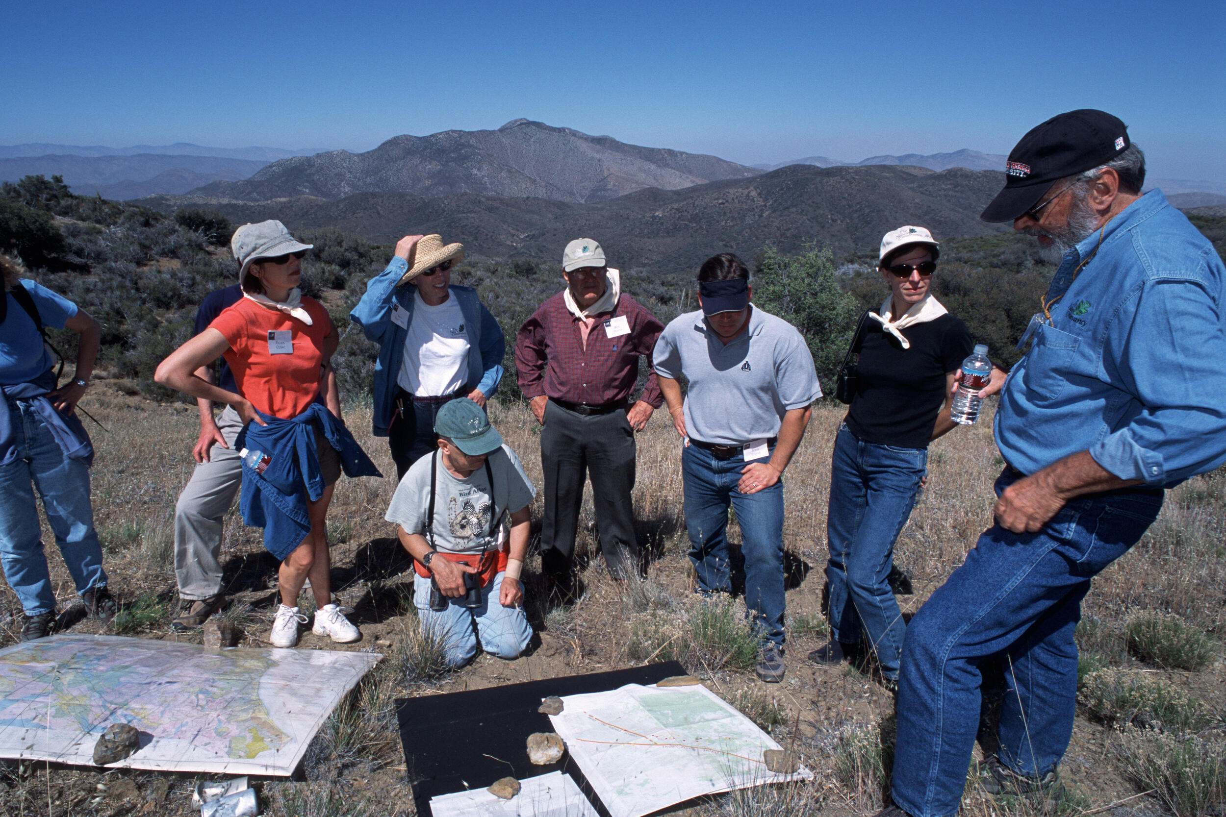
Supports Strategic Planning and Conservation
The RCIS Program offers a landscape plan and vision for regional conservation rooted in science and engagement. The program can weave conservation into existing regional planning and help guide development.
-

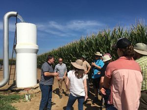
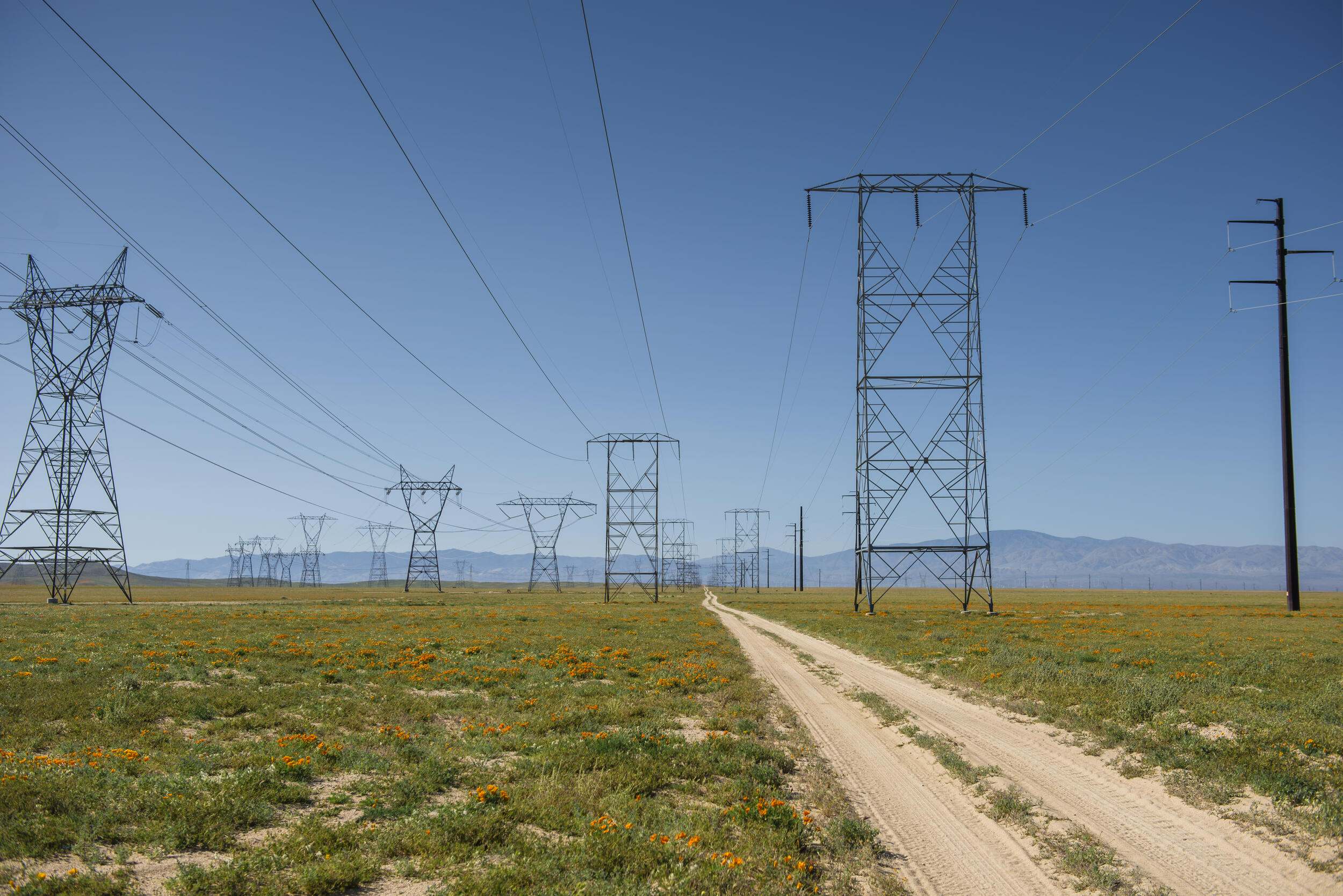
Supports Infrastructure Planning & Development
The RCIS Program helps guide infrastructure placement to avoid conflicts with environmental resources and risks, and enables advance mitigation while helping to expedite projects with regulatory and community engagement.
-
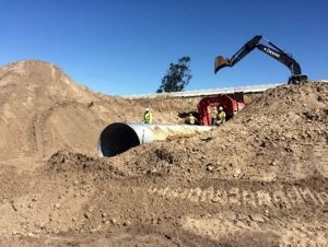
Streamlines Permits and Mitigation
RCIS priority areas and identified actions can guide infrastructure investments, and be used to avoid and minimize impacts of development projects. The MCA is a flexible advance mitigation tool to compensate for predicted unavoidable impacts.
-
Informs Land Use Planning
The RCIS process brings people and science together to identify agreed-upon conservation values and priorities, informing local and regional land use plans and integrated planning efforts such as climate action or regional transportation plans.
-

Supports Climate Adaptation and Resilience
Program elements provide information on how to enhance the resilience of natural resources to climate change, including climate change vulnerability assessments for habitats, species and areas expected to be impacted by climate risks.
-
Aligns Existing Regulatory Policies
While an RCIS is non-regulatory, it must show how it is compatible with applicable laws, ensuring consistency. The process enables resource agencies to incorporate their priorities throughout the RCIS.
-

Supports Groundwater Sustainability
The RCIS can help regions achieve groundwater sustainability goals and comply with SGMA. It can identify actions that advance groundwater sustainability, assisting land owners/ managers in accessing funding for multi-benefit projects.
-

Advances Wildlife Corridor and Connectivity Projects
The RCIS Program supports habitat connectivity and wildlife corridor planning and projects. RCISs identify key areas for connectivity and incentivize projects by enabling MCAs that create specialized mitigation credits that address connectivity.
-
Supports California's 30x30 Initiative
The RCIS Program aligns with Pathways to achieve “30x30” goals. RCISs are developed at a regional scale (Pathway 1: Accelerate Regionally Led Conservation); and enable advance mitigation through MCAs (Pathway 5: Institutionalize Advance Mitigation).
Below are examples of how the RCIS Program and collaborative process can create value for different goals and objectives.
Examples of RCIS Program Benefits
Planning
-
Smarter Conservation Spending: The RCIS uses ecological data and stakeholder collaboration to develop a shared conservation vision and identify critical areas for conservation, ensuring investments go where they have the biggest impact.
Fundraising: Helps with funding proposals for public and private sources, demonstrating a conservation strategy developed with public input that is approved by a state agency.
Partnerships: Helps to foster multi-sector partnerships and local support for conservation actions.
Engaging Land Owners: Land Owners and conservationists manage land and collaborate around a suite of conservation values (rangeland, farmland). The RCIS is a mechanism to collaborate with partners and secure funding to protect or enhance your property.
-
Reduces Risk and Cost: Reduces risks and costs by identifying environmental risks early in project development cycle. Imparts information on environmental resources, including sensitive species and habitats, influencing project siting and design decisions.
Promotes Partnerships: Helps to foster partnerships with resource agencies, conservation and community organizations, building support for projects.
Faster Infrastructure Delivery: If you incorporate environmental considerations early in your project planning and delivery, you often have a smoother path to permitting. For example, knowing the location of endangered species or sensitive habitat, you can design the project to avoid these areas resulting in few to no mitigation requirements.
-
Science-Based approach: The RCIS uses ecological data to identify and prioritize areas important to ecological health and resilience.
Integrated planning: RCISs help communities and agencies understand and balance different land uses across the RCIS area. Using maps and text, RCISs identify conservation values while also considering existing land uses, including agriculture and foreseeable development such as water, transportation, housing and energy.
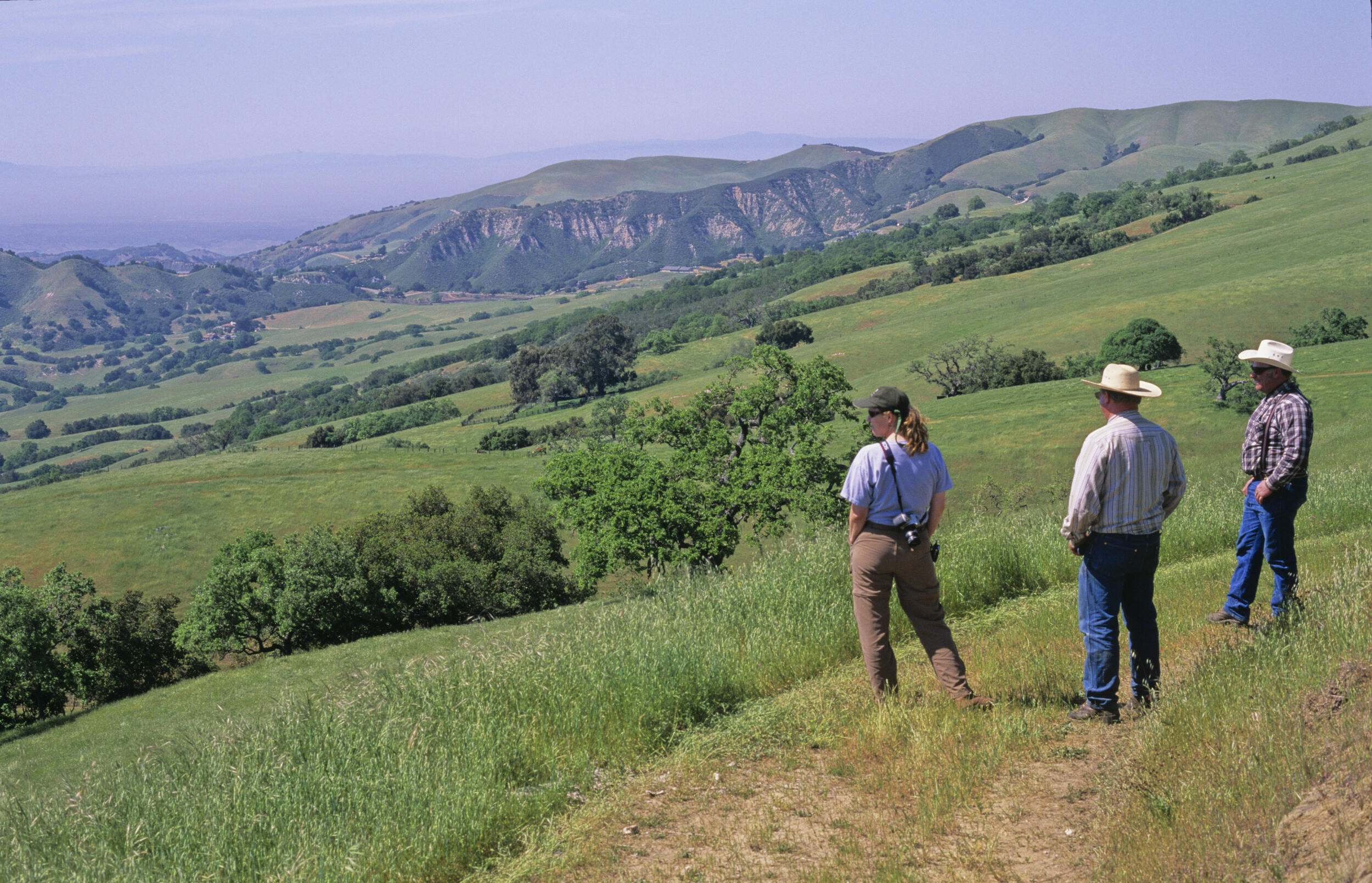
Collaboration is Key: Local officials, environmental groups, and government agencies work together to develop RCISs, encouraging dialogue and fostering a unified approach.
Easy to include conservation: Can influence foundational land use plans at the local and regional levels. This including General Plans, Climate Action Plans, Regional Transportation Plans and Sustainable Communities Strategies, Groundwater Sustainabilty Plans and energy transmission plans.
Decision Support: Ensuring a holistic perspective on plans and projects affecting conservation such as water, transportation, energy and other development projects.
Regulatory
-
Incorporates Agencies priorities and policies: RCISs integrate regulatory agencies approved plans, designations and policies helping to advance projects that deliver co-benefits and mutally desired outcomes.
-
Creates a new advance mitigation vehicle: Mitigation Credit Agreements, generate advance mitigation credits from one or a suite of actions that are consistent with the RCIS.
Streamlined Permits: Mitigation Credit Agreements based on RCIS can expedite permits for transportation and other projects.
Strategic Mitigation: MCAs direct resources from required mitigation projects towards high-priority conservation actions identified in RCIS plans. This creates a win-win for infrastructure development and conservation efforts.
Established Science and Planning framework: RCISs are organized around ‘focal species’ and natural communities — which should include all species and habitats that require mitigation, now or sometime in the future.
Strategic Siting: Identify ideal locations for new mitigation banks and develop MCAs to create specialized mitigation credits that address specific needs.
Get ahead and stay ahead: MCAs allow infrastructure agencies to reduce delays by proactively obtaining environmental mitigation in advance of-rather than during-project construction.
Sustainability
-
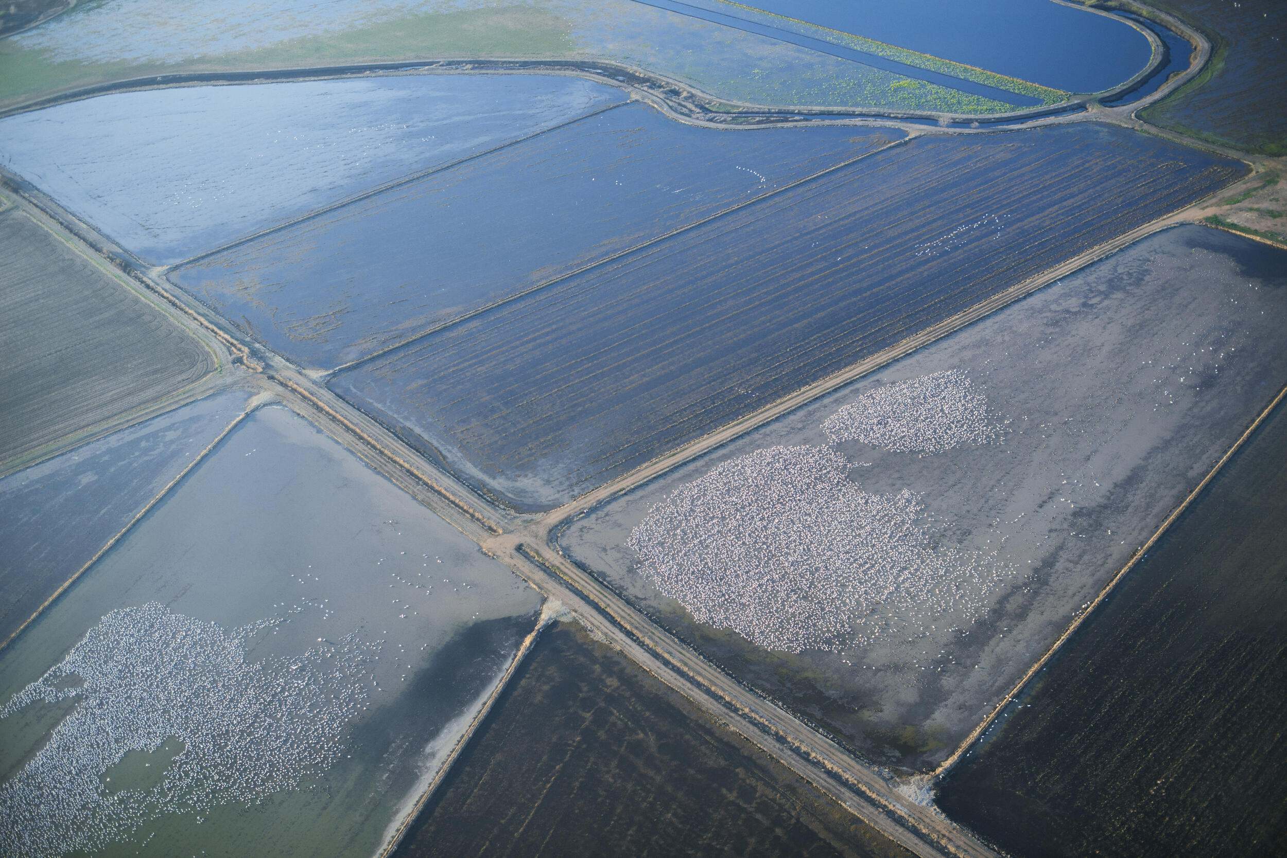
Science-based information: An RCIS identifies areas that provide connectivity for habitat and wildlife movement as well as areas where connectivity and corridors are severed. Habitat connectivity is a required conservation element, and wide-ranging species are required to be included as focal species. An RCIS includes data, analyses, maps and text to make it easy to know where the linkages and connectivity exist today, and the strategies to enhance or protect connectivity and corridors.
Enables Integrated Planning: There is growing recognition of the impacts of infrastructure and development on wildlife corridors and habitat connectivity, and support for investments and policies to protect and improve corridors and connectivity. The RCIS includes information related to infrastructure and land use plans to help infrastructure agencies and land use planners know the location and importance of habitat connectivity and wildlife corridors for biodiversity and climate risk and resilience, as they develop plans and projects.
Faster project delivery: The information included in the RCIS can assist infrastructure agencies, developers and others to build habitat connectivity into their plans and projects, making it easier to avoid or minimize impacting corridors and connectivity, and encouraging investments in protection and enhancement, helping to build support for their projects and accelerate project delivery.
Supports climate resilience: Including habitat connectivity areas and wildlife corridors supports ecosystem resilience in a changing climate. Climate change may cause habitats to be unsuitable for plants and animals. Those that cannot adapt to quickly changing conditions may have to move to find new habitat, requiring connected and intact habitats and wildlife corridors to be successful.
Incentivizes connectivity actions through advance mitigation: Mitigation Credit Agreements enable CDFW to issue species or habitat mitigation credits for wildlife and habitat connectivity actions, creating an asset that the MCA sponsor can use for their compensatory mitigation needs or sell to others needing mitigation, generating revenue and earning a return on their investment.
-
Increases Coordination and Collaboration: The process of developing the RCIS plan helps increase coordination around the land use elements of the Sustainable Groundwater Management Act (SGMA) implementation.
Enables Integrated Planning: RCISs help encourage the consideration of regional economic and environmental benefits beyond groundwater sustainability into Groundwater Sustainability Plans (GSP).
Encourages Collective Action and Multi-benefit Outcomes: Engagement during the development of the RCIS helps bring together different perspectives and goals to identify and move forward on GSP strategies and projects that can create multiple benefits, such as habitat creation, groundwater recharge, and demand reduction. See the Kaweah RCIS Website as an example of a successful communications and engagement resource.
Supports Funding: An RCIS that is integrated with SGMA can help bring public and private funding for GSP projects that support the RCIS, and funding for RCIS projects that support the GSP, delivering coordinated and multi-benefit outcomes.
New Tool for Landowners: RCIS plans enable landowners to develop Mitigation Credit Agreements, a tool that can allow farmers to get paid to create high-quality habitat as credits to agencies or other entities that need to meet permit requirements.
-
Climate Science in Planning: RCISs provide important science-based climate related information that can be used to inform land use decisions and investments to support climate adaptation and resilience to a changing climate.
RCISs are required to identify climate change impacts and vulnerabilities in the RCIS area, risks to and opportunities to protect the viability of climate-vulnerable species and habitats, including wildlife and habitat connectivity, climate resilience and adaptation opportunities.
Supports Infrastructure Resilience: Infrastructure facilities (transportation, water, energy) are increasingly vulnerable to climate-related risks, such as more frequent and intense storms, flooding, wildfire and high heat.
RCISs highlight nature-based and multi-benefit solutions that can also enable climate resilience, such as restoring wetlands to absorb and filter stormwater and enlarging culverts for wildlife passage, both helping to reduce flood risk.
Provides information to ease development of Climate Action Plans: RCISs include a wealth of science-based information, strategies and actions for climate adaptation and resilience in a specific region. Cities, counties and regions that are developing Climate Action Plans can use RCISs as a resource to more easily integrate nature-based solutions into Climate Action Plans to help advance community and ecological adaptation and resilience.
Highlights actions for ecological resilience: The ability of natural systems to react and adapt to the effects of climate change is critical to safeguarding biodiversity and mitigating climate change. RCISs include a wealth of science-based information, including actions that, when implemented, are designed to benefit species conservation, adaptation to climate change and resiliency in the face of pressures and stressors.
For example, RCISs are required to include climate-vulnerable species, identify areas where habitats are expected to be resilient to the affects of climate change and where species ranges are expected to expand, or shift due to climate change, and include actions to address the impacts of climate change.
RCISs also are required to include habitat connectivity as a conservation element, information about the affects of climate change on habitat connectivity and opportunities to promote adaptation and resilience.
The RCIS program benefits developers, conservationists, government agencies, and local communities. By fostering collaboration and streamlining conservation efforts the program ensures that growth and environmental protection can coexist, creating long-term advantages for all involved.
Who Benefits from the RCIS Program?
-
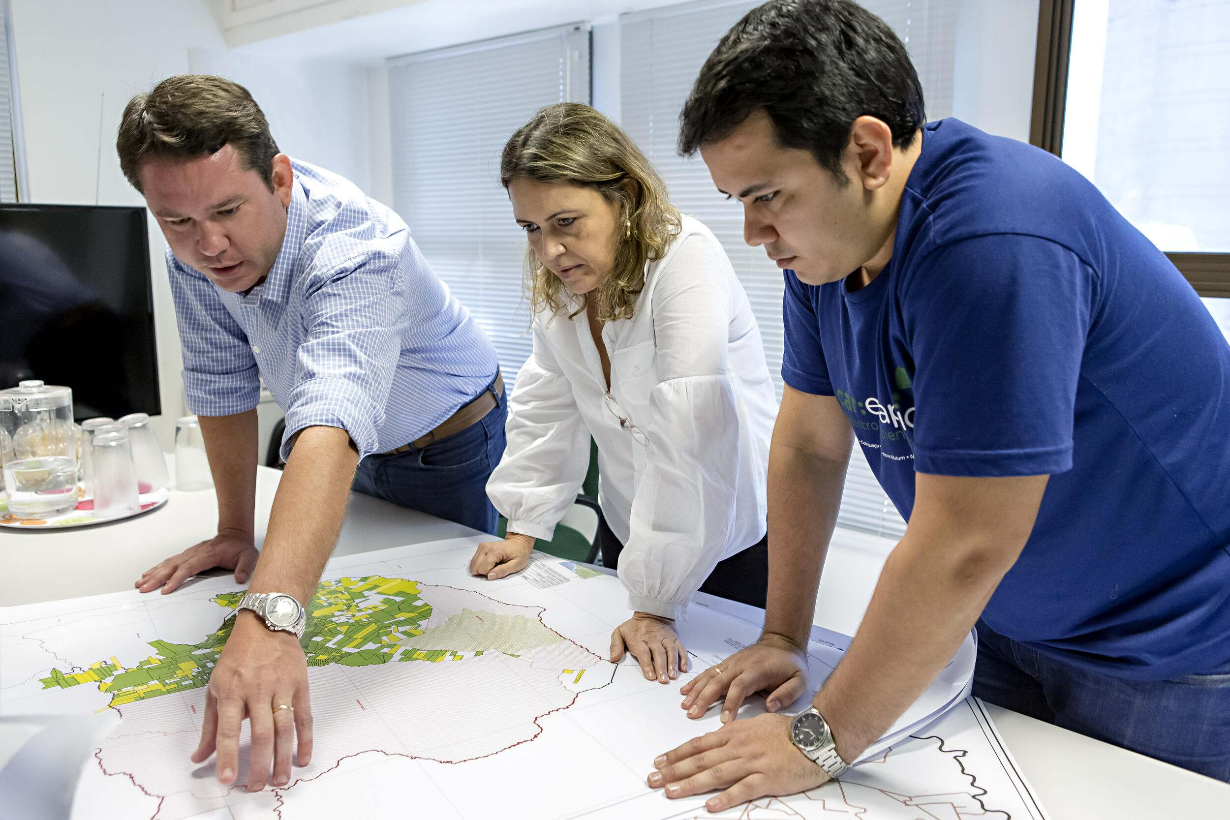
Land Use Planners
Land Use Planners can use an RCIS to implement a smarter plan informing general plans and climate action plans, helping identify areas crucial for conservation, carbon sequestration, and water resource management.
-
Land Trusts and other conservation organizations
Land trusts and other conservation organizations can use an RCIS to target funding opportunities in high-priority areas for conservation investment. They can identify the most impactful actions, and leverage MCAs to generate new funding streams.
-
Infrastructure Agencies
Faster project delivery by using RCIS data to avoid habitat disruptions, reducing project delays and compliance costs. Infrastructure agencies can take advantage of MCAs to streamline mitigation, saving time and money.
-
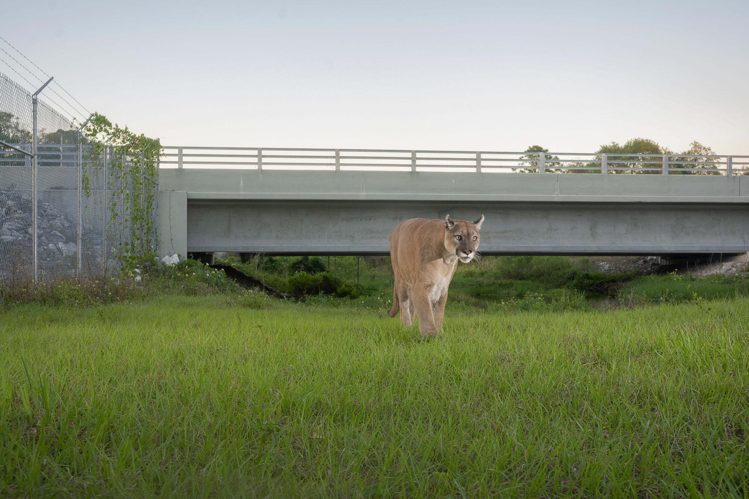
Wildlife Corridor Projects
Use RCIS to identify key areas for habitat connectivity and develop MCAs to create specialized mitigation credits or secure funding for these crucial projects.
-
Landowners and Managers
Conservation Partnerships: If you manage land with conservation value (rangeland, farmland), use an RCIS to collaborate with partners and secure funding to protect or enhance your property.
-

Mitigation Practitioners
Mitigation practitioners can use an RCIS to guide locations of new banks, MCAs, in-lieu fee programs and project opportunities. MCAs enable credits for mitigation on public lands, connectivity projects and a suite of mitigation actions.
-

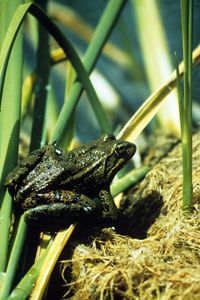
Nature
An RCIS highlights sensitive habitats and species, ecological goals and provides a roadmap to support species and habitat health, conservation and recovery. An MCA incentivizes actions that are needed to support species and habitat health.