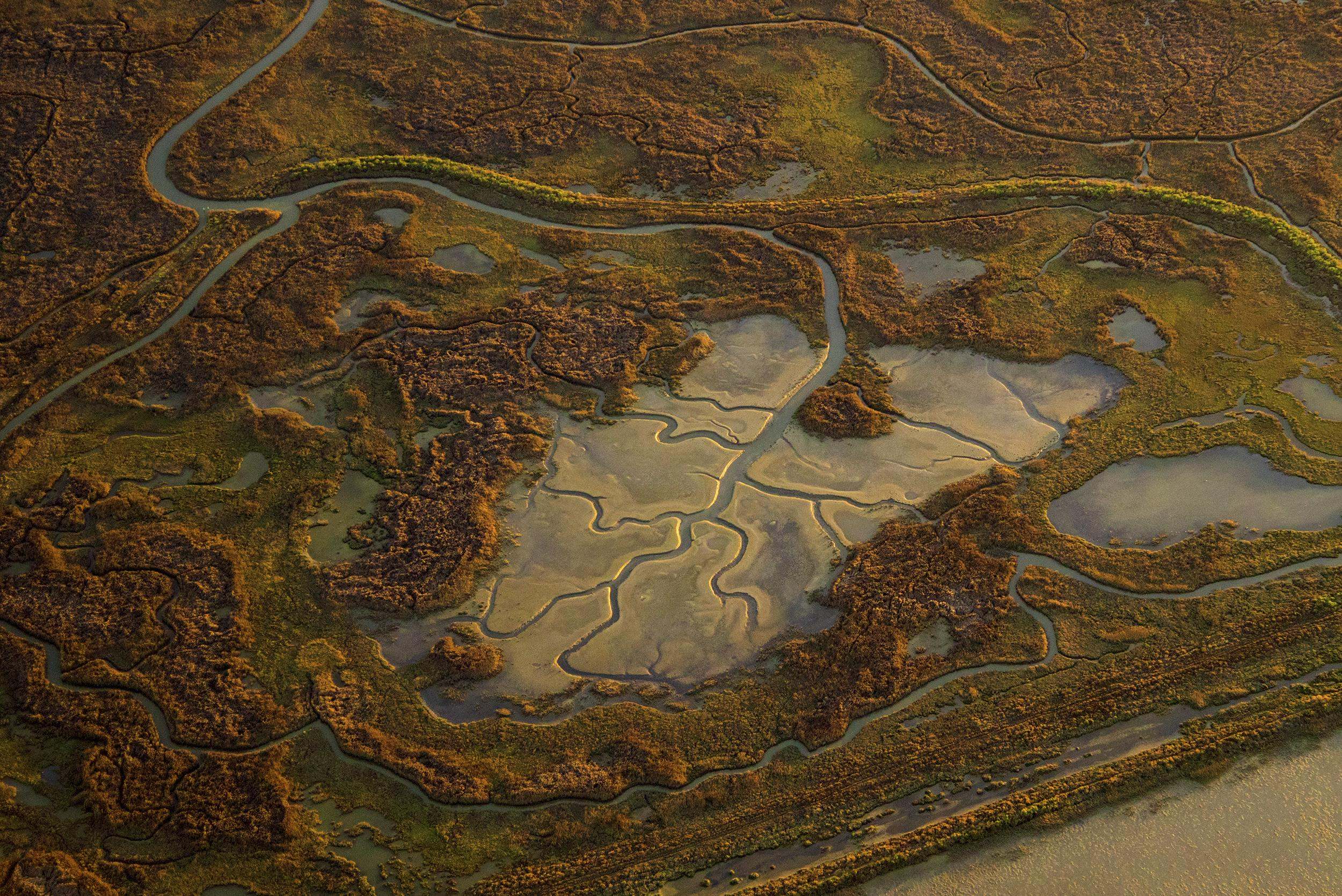
RCIS
Details on developing an RCIS document, CDFW’s approval process, best practices and implementation recommendations.


This graphic shows the state of California with spatial representations of RCIS locations. These locations include the San Bernardino RCIS, Antelope Valley RCIS, Monterey County RCIS, Kaweah Groundwater Subbasin RCIS, San Joaquin Valley RCIS, Santa Clara RCIS, Santa Cruz County RCIS, East Bay RCIS, North Bay Baylands RCIS, Yolo RCIS, and mid-Sacramento Valley RCIS.
Map of RCIS locations (as of January 2025)
For an interactive map of current RCIS projects either approved or in development, please go to the CDFW RCIS Program website where you will find an interactive map. The CDFW map contains location and boundary details for each RCIS and is regularly updated by CDFW staff.
RCIS Background Information to get started
Before you begin work to determine if an RCIS is the right tool to meet your needs, it’s good to become familiar with these documents: CDFW RCIS Guidelines, CA Fish & Game Statue, CDFW RCIS Program overview and Program Fees in the Reference Document section.
CDFW RCIS Website
Resource Needs and Funding Opportunities
The Wildlife Conservation Board’s (WCB) RCIS funding program is available to RCIS proponents to apply for funding to cover the majority of costs to develop an RCIS Strategy.
-
WCB website with RCIS grant info
Find RCIS grant information, including guidelines, to help secure funding for RCIS development Learn more
-
RCIS Program Fees
CDFW fees for RCIS and MCA applications for inclusion in your budget. Learn more